RAPPAHANNOCK
RIVER
AGRITOURISM
TRAIL
Please Scroll
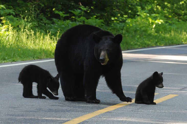
Rappahannock River Valley National Wildlife Refuge - Photo by Paul Welch
Rappahannock River Valley National Wildlife Refuge - Photo by Paul Welch
Every Country in the world is coming together to achieve one critical world-wide mission
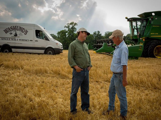
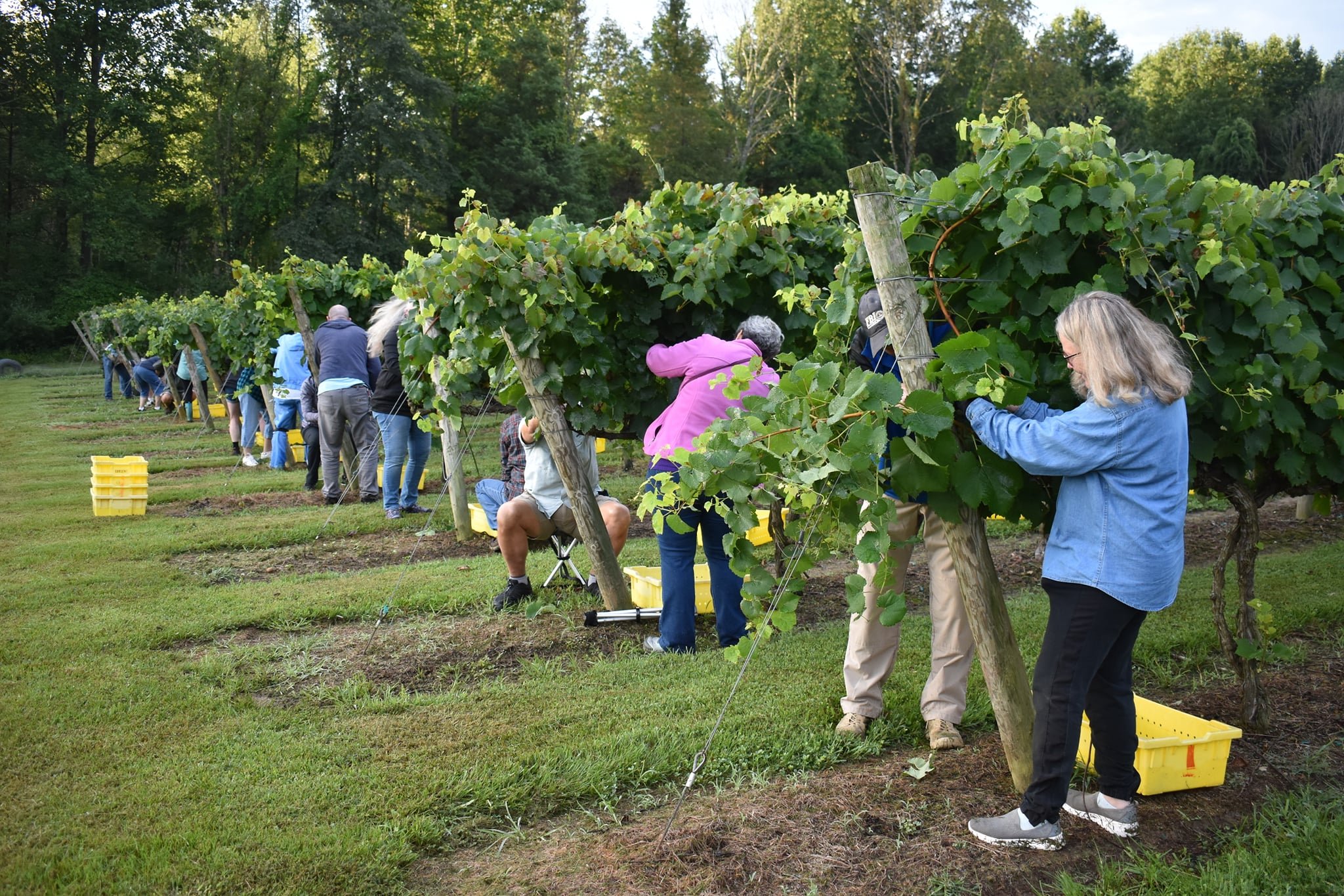
Agritourism is where agriculture and tourism meet to provide guests with an amazing educational experience and to provide farmers with a way to keep the worlds farms in farmland. With the increasing popularity of niche tourism, agritourism is growing significantly.
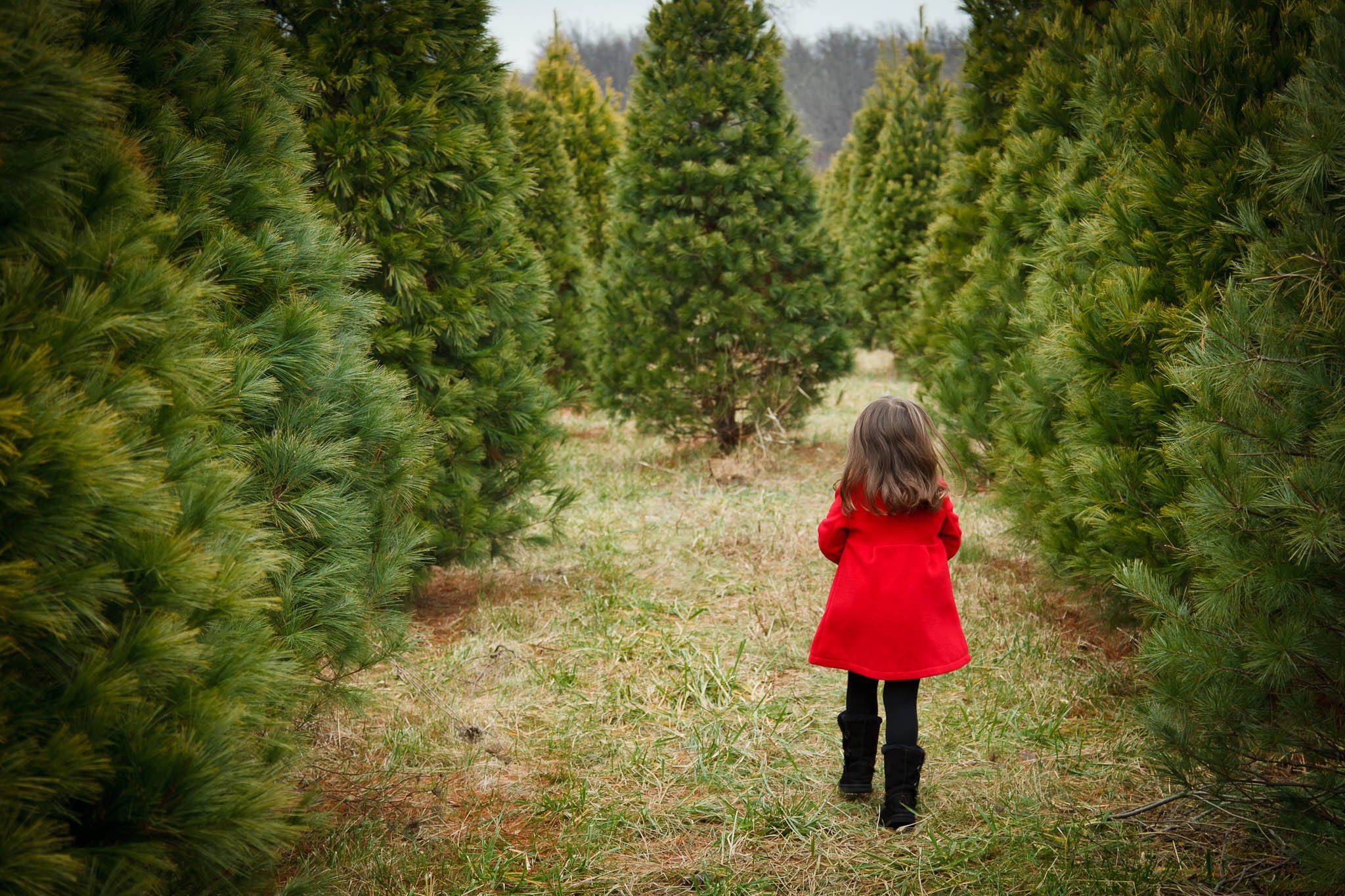
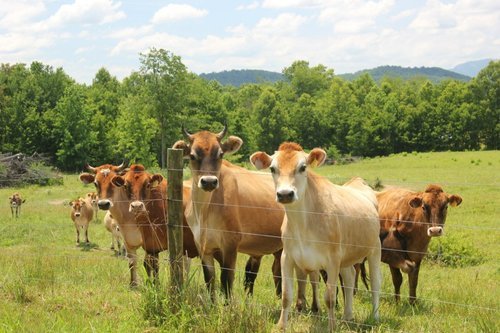
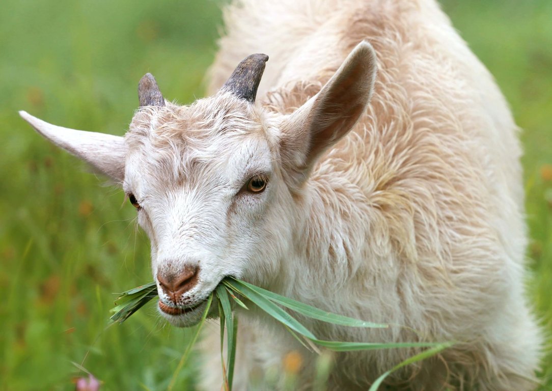
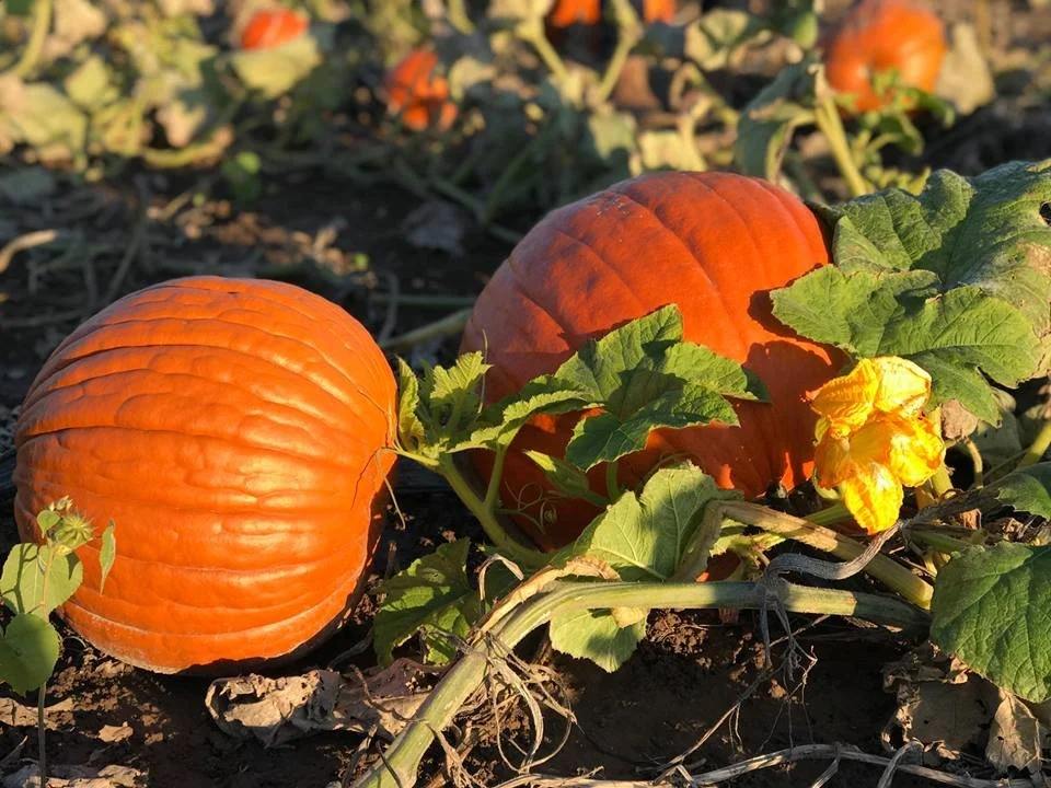
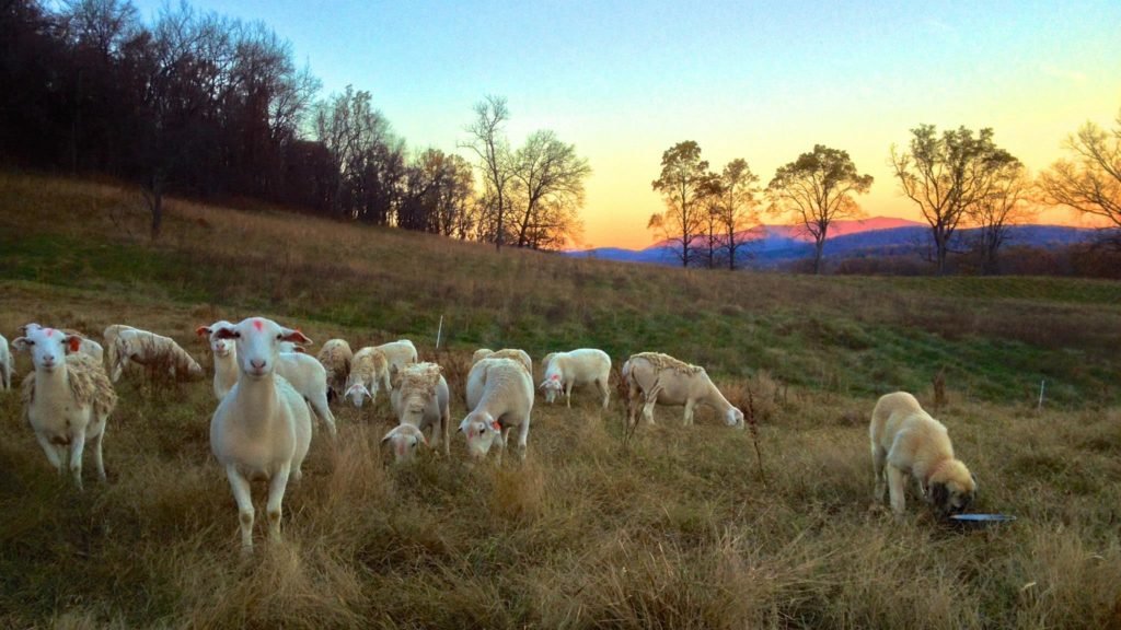
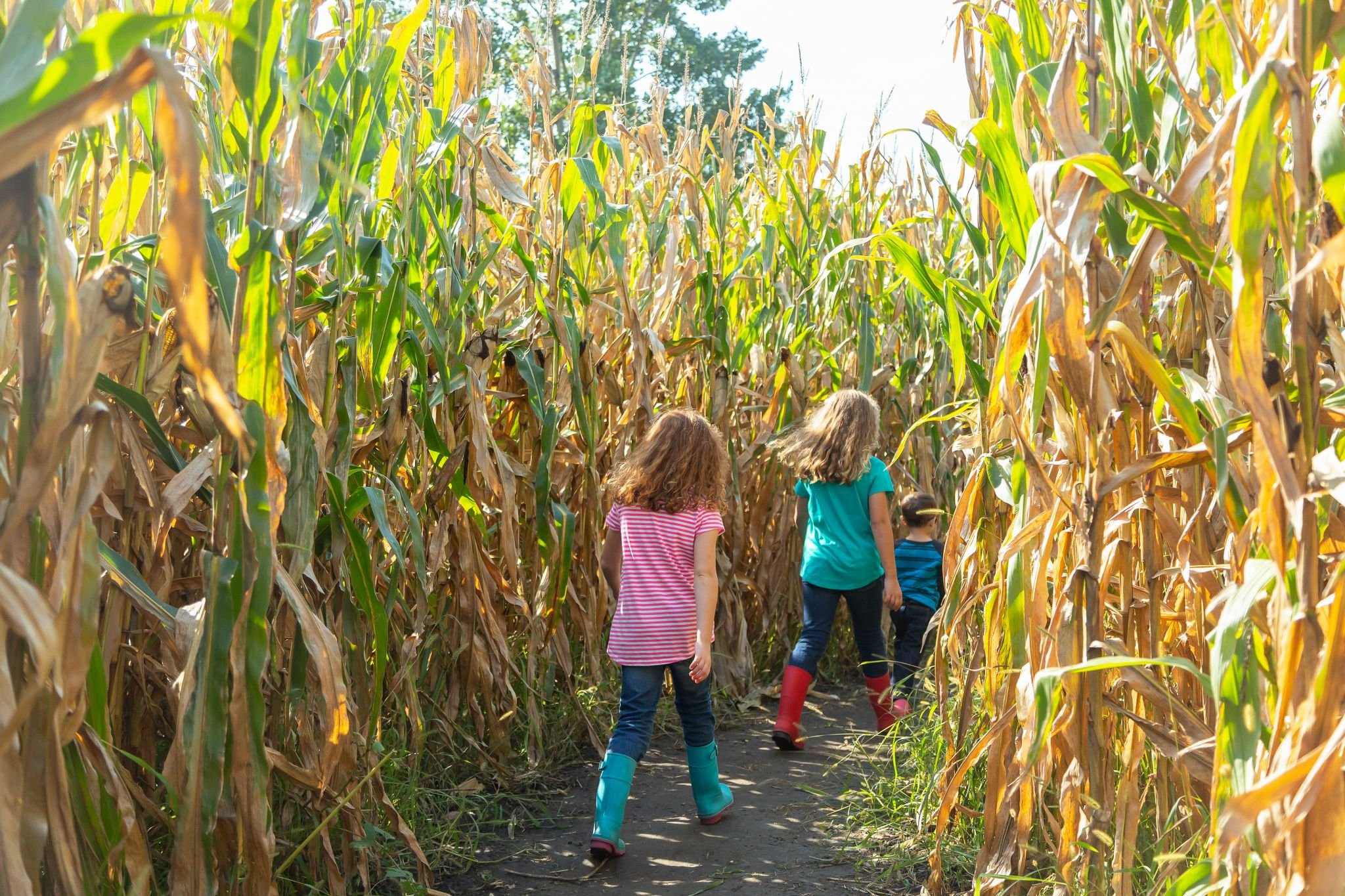
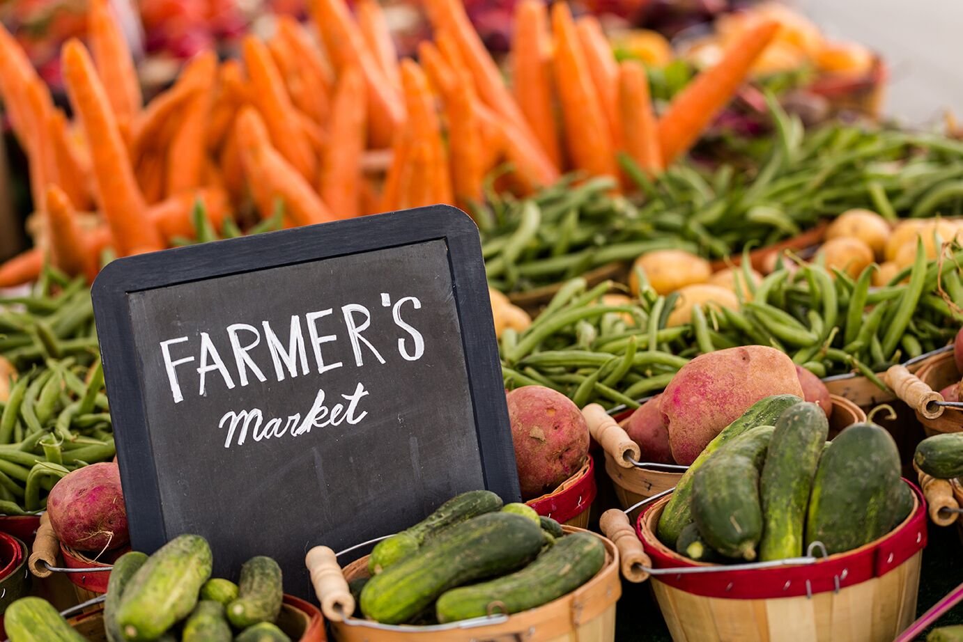
Rural Farm destinations across the U.S. and the world are now permitted to invite the public to experience their farm operation and sell their products right on the farm. Many unique farm activities are waiting to be explored - everything from farm stays, pick-your-own fruits, pumpkins, mums, Christmas trees to getting your veggies, honey, eggs and meat right on a farm, cuddling goats, navigating a corn maze, riding horses and visiting tasting trails of all kinds.
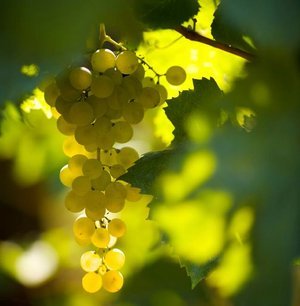
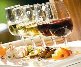
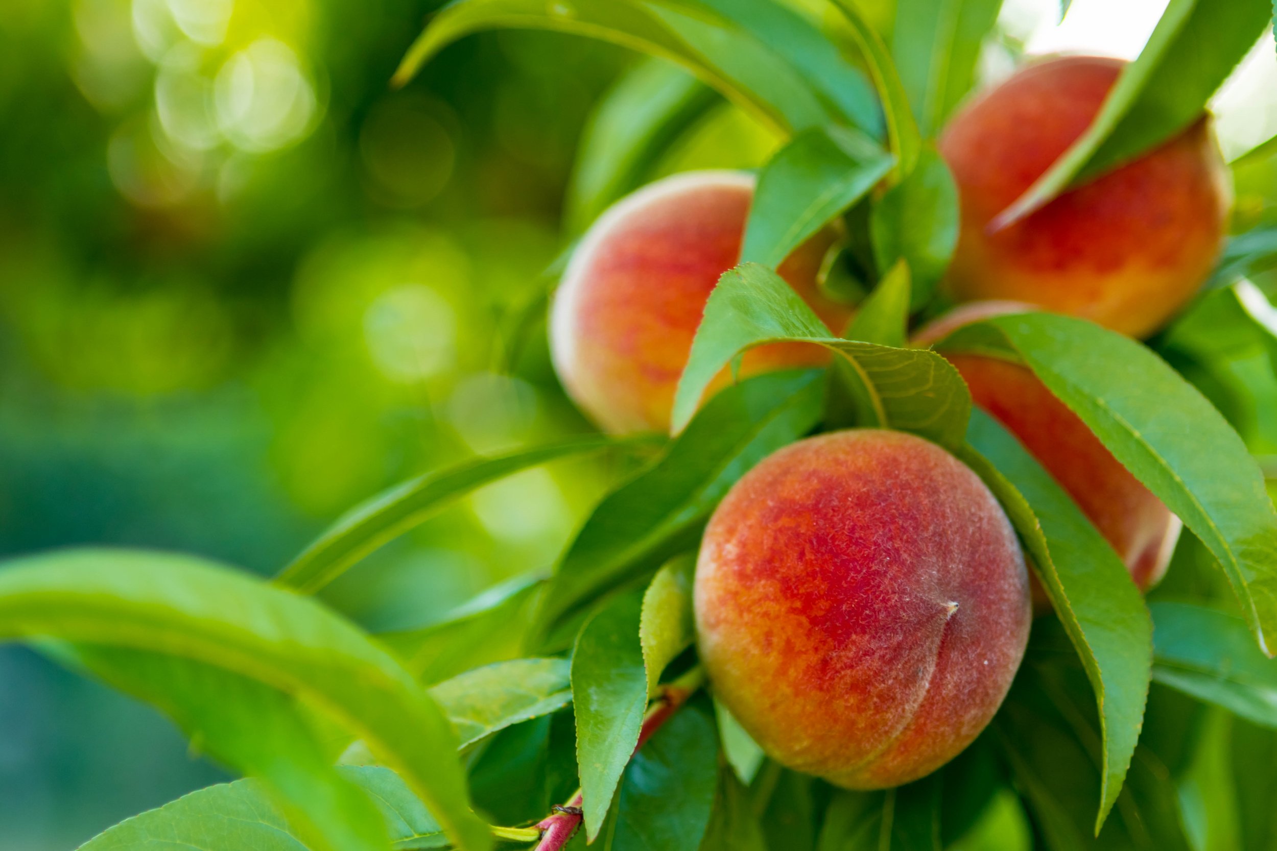
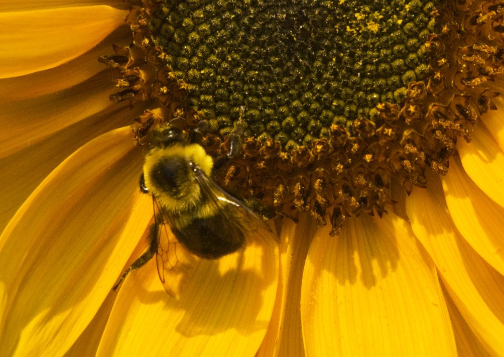
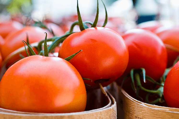
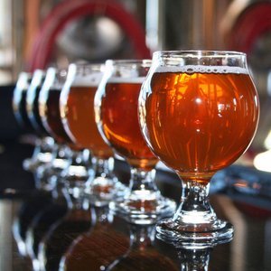
Farmers markets happen in almost every community. Niche farms start in the Spring offering Pick-Your-Own strawberries, blueberries, cherries, raspberries, wild blackberries and wineberries, peaches, apples, pears as fruits ripen. Rural farms offer trout fishing, coffee cupping, chocolate tastings, olive oil sampling, honey tastings, fiddlehead fern and mushroom foraging. Farm wineries, breweries, cideries, meaderies & distilleries offer tastings all along the Rappahannock River watershed. Aquaculture happens all the way down the river - canoeing, kayaking, fishing, oyster and crab farming, charter fishing tours and sunset cruise tours. Have an experience and help out a farm!


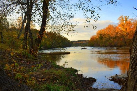
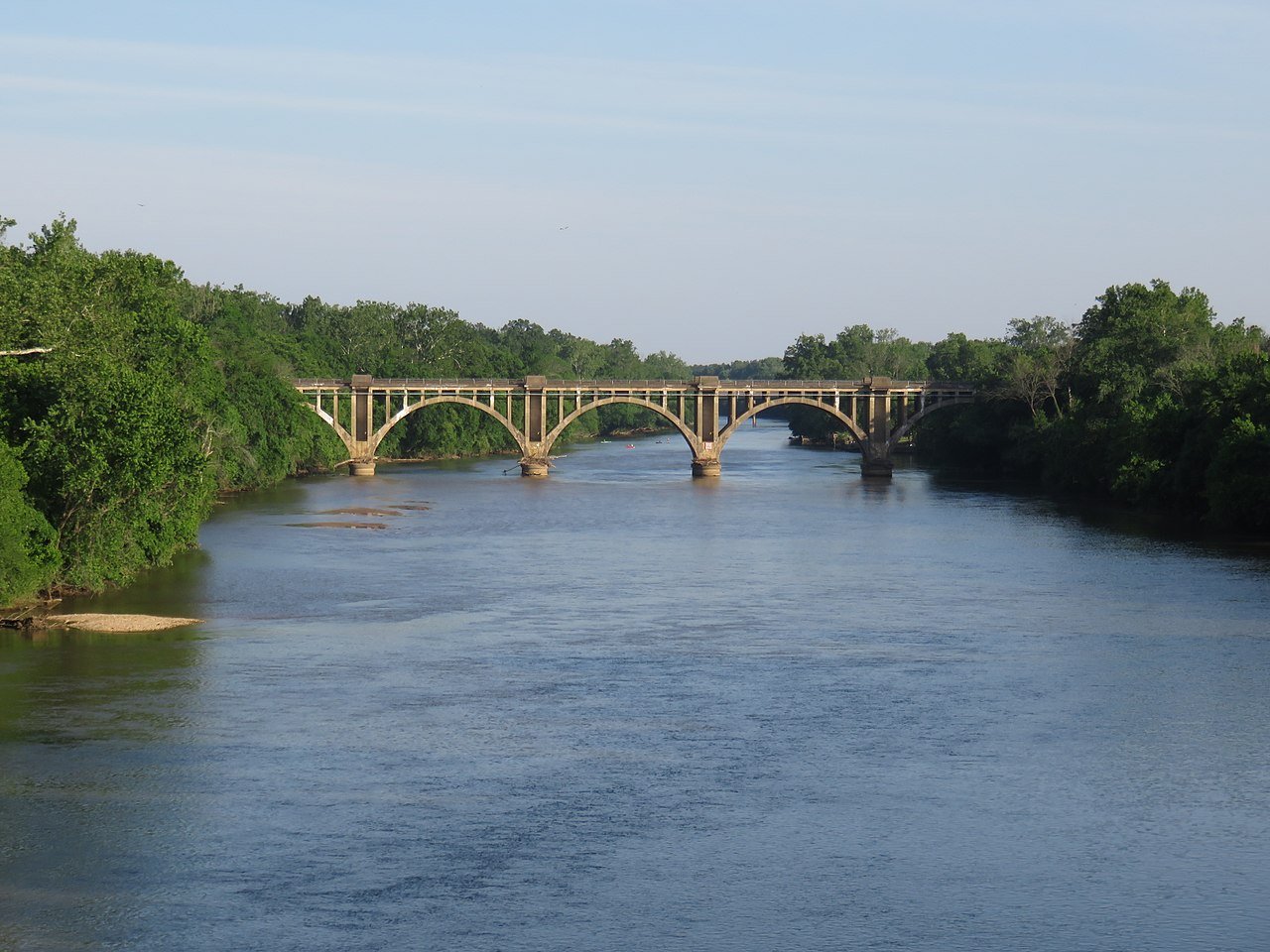
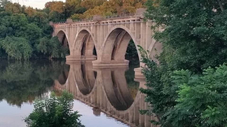
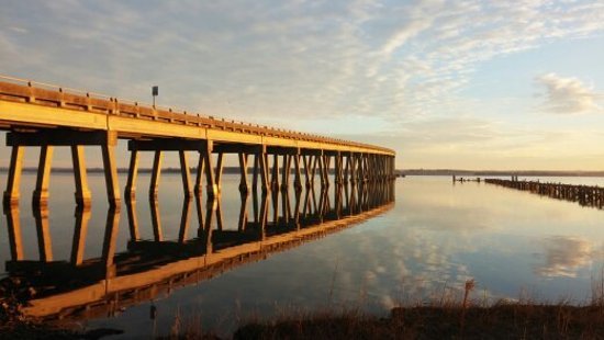
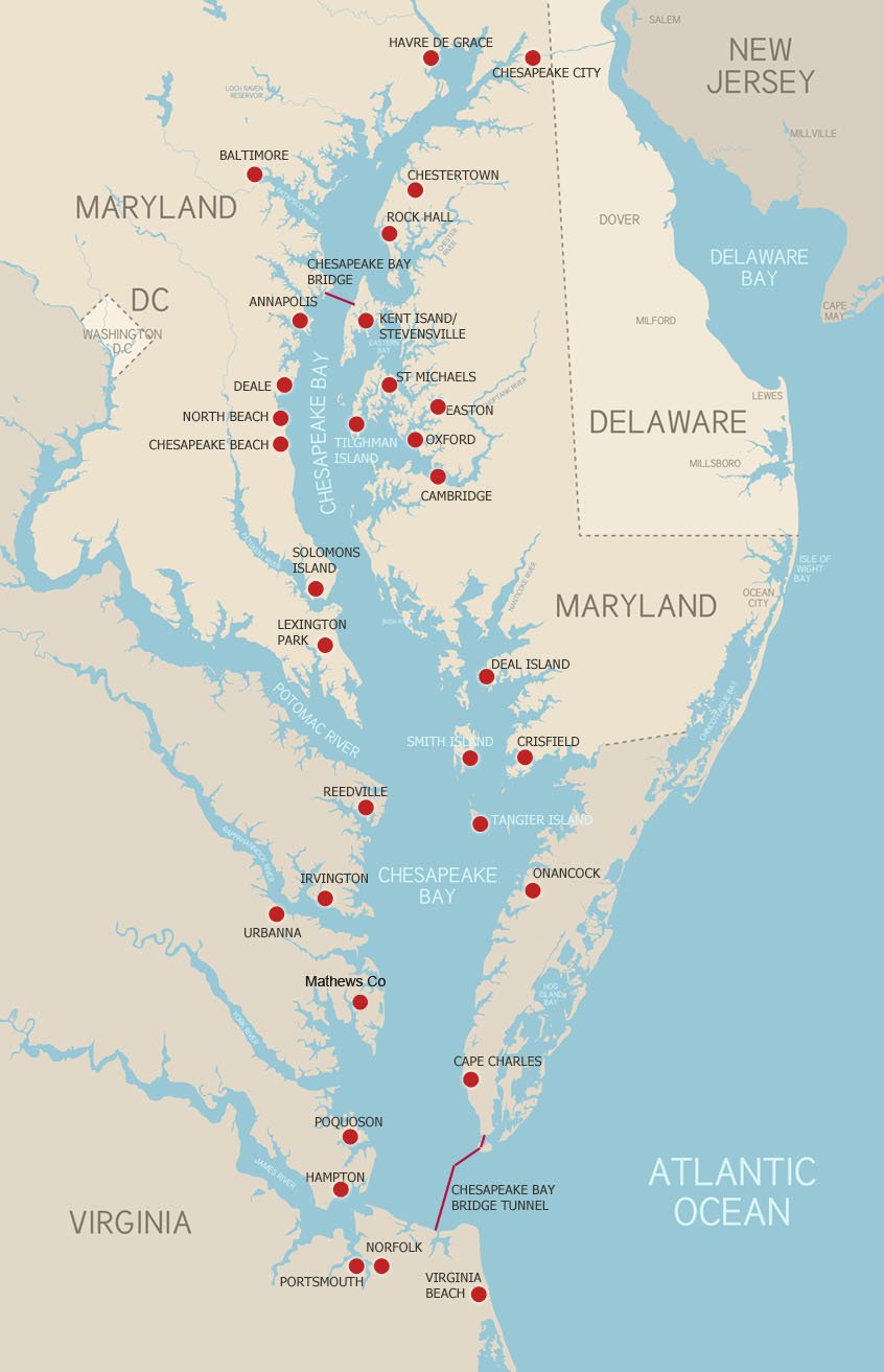
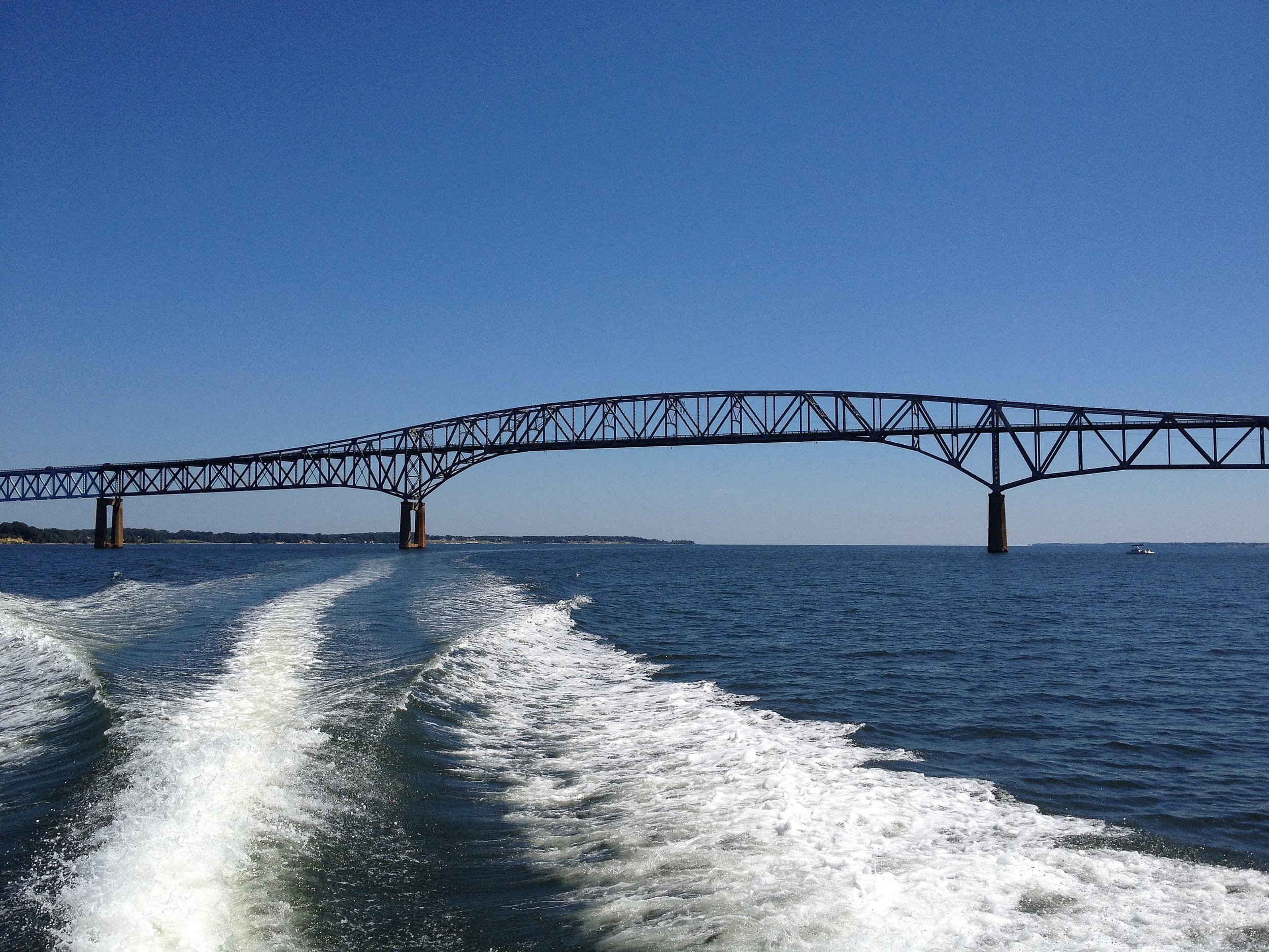
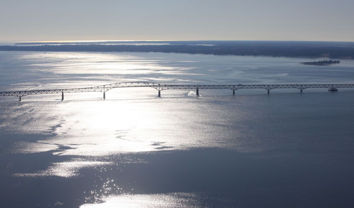
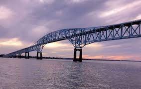
The Rappahannock River begins in the Blue Ridge Mountains at Chester Gap Virginia, 60 miles west of Washington DC. The river rises at Chester Gap, a wind gap in the Blue Ridge Mountains a few miles southeast of Front Royal, Virginia, near the single point where Warren, Fauquier, and Rappahannock counties come together. 195 miles later, the mouth of the mighty Rappahannock River requires a 9,985 foot long bridge to cross as it empties into the Chesapeake Bay.
Counties along the Rappahannock River Watershed include Lancaster, Middlesex, Essex, Richmond, Westmoreland, King George, Caroline, Stafford, Spotsylvania, Culpeper, Fauquier, Rappahannock, Fredericksburg
The river ebbs and flows southeastward from its origin in Chester Gap to the Chesapeake Bay. The first 62 miles, from the headwaters to Mayfield Bridge in Fredericksburg, are designated State Scenic River. Farmers along the Rappahannock River live by a unique vow of guardianship to protect this river in the rural, bucolic countryside settings of Virginia. Many farms along the river welcome visitors! The river's watershed is protected in various places as parcels of the Rappahannock River Valley National Wildlife Refuge.

Virginia Route 211 spans the tips of three Counties where the headwaters of the Rappahannock begin. Rappahannock County, Culpeper County and Fauquier County are the furthest west starting at the base of the Blue Ridge Mountains, 60 miles west of Washington DC. The Rappahannock river runs eastward until it drops into the Chesapeake Bay. Skyline Tasting Trail leads through the rural hills and dales full of farms with all kinds of agritourism offerings, including farm stays, Pick-Your-Own orchards, produce gardens, beef ranches, wineries, breweries, distilleries and cideries. This region is fondly nicknamed DC’s Kitchen, for its many farms and agritourism businesses that provide food to the city.
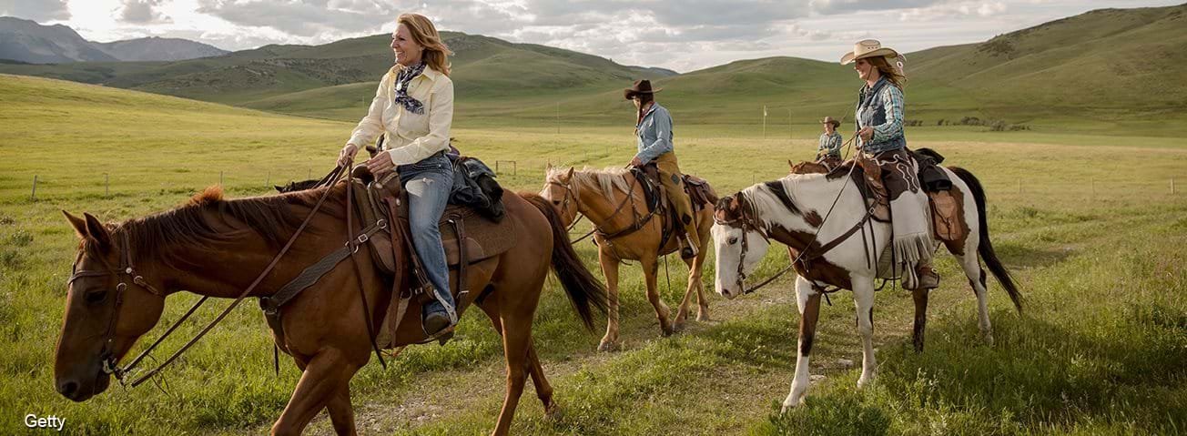
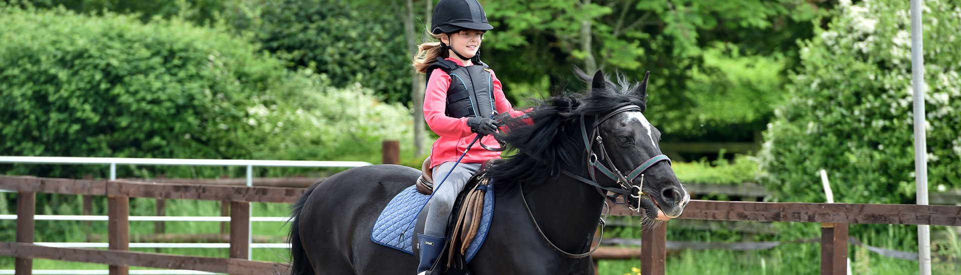
Between the Rappahannock and Rapidan Rivers you’ll discover the Tween Rivers Trail featuring the quiet, natural beauty of farmland. Whether you’re picking berries, pumpkins or Christmas trees, horseback riding along the back roads of the Blue Ridge Mountains, or visiting tasting trails, the panoramic views and gentle rolling hills will relax and inspire you as farmers and their furry friends invite you to reconnect with nature.

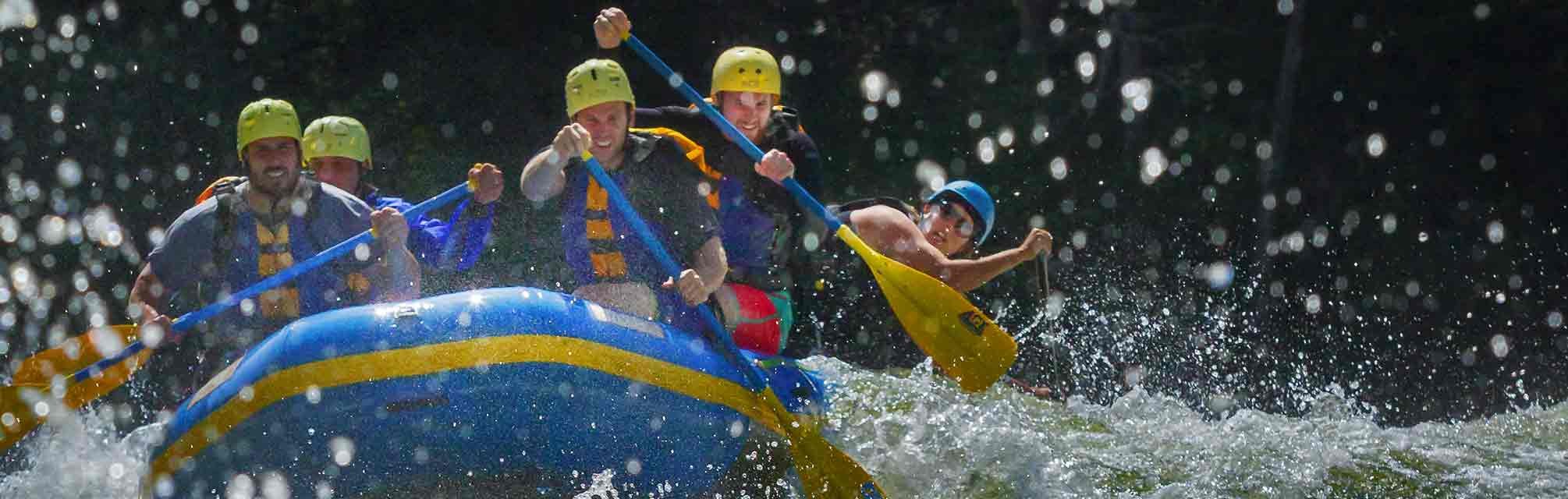
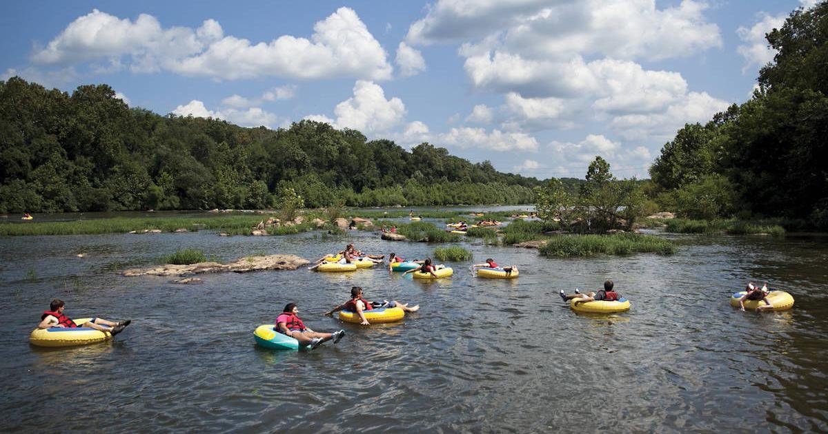
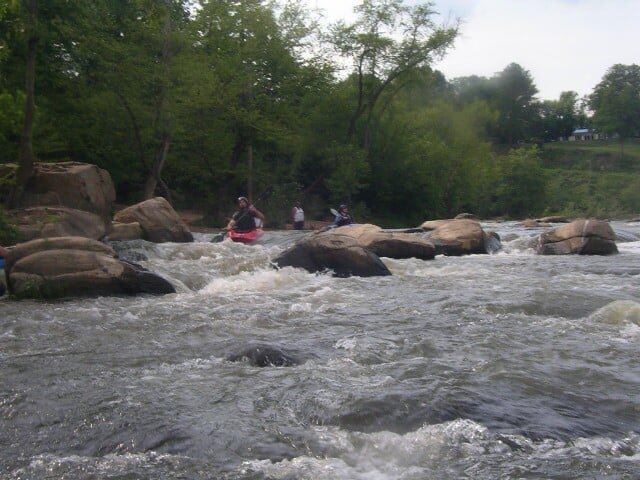
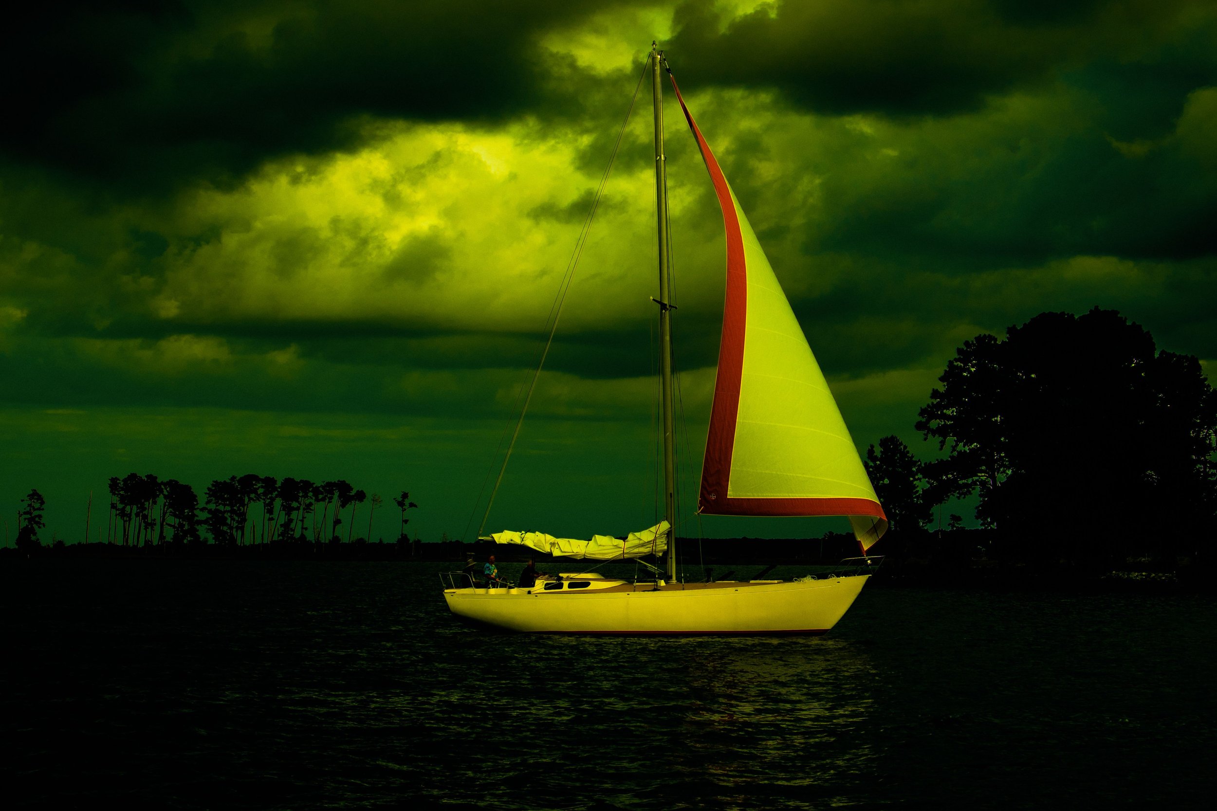
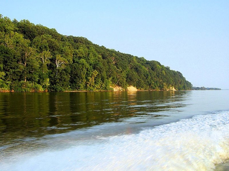
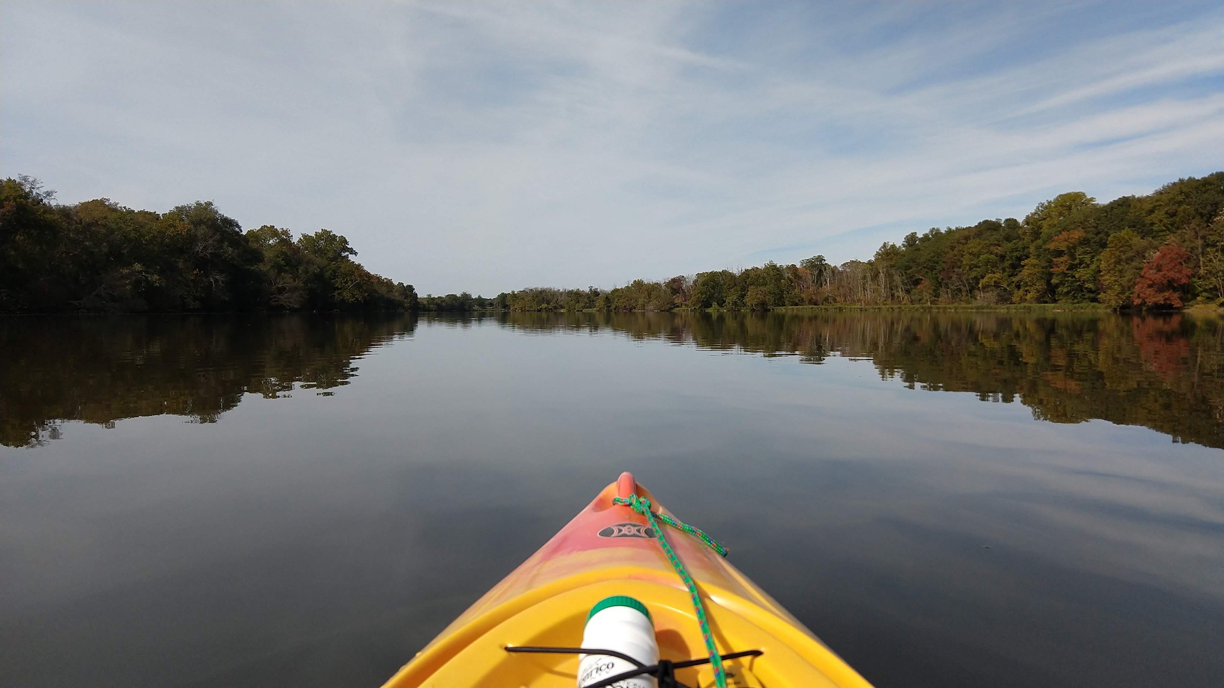
Above Fredericksburg, the river provides fine opportunities for recreational canoeing and kayaking. Most of the rapids are Class I and Class II in difficulty, but, near Remington, there are some rapids that are considered to be Class III. The river’s character changes abruptly in Fredericksburg at the fall line (the limit of tidal influence). Above the fall line, the river is usually clear, swift, and dominant substrates are bedrock, boulder and cobble providing perfect habitat for smallmouth bass and related species. Below Route 1 the river is tidal, and the substrate is finer, dominated by sand.
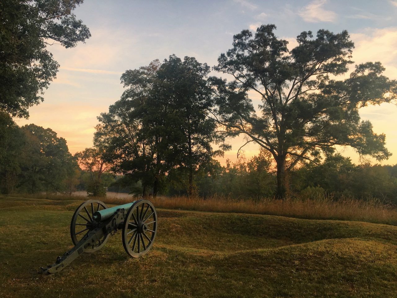
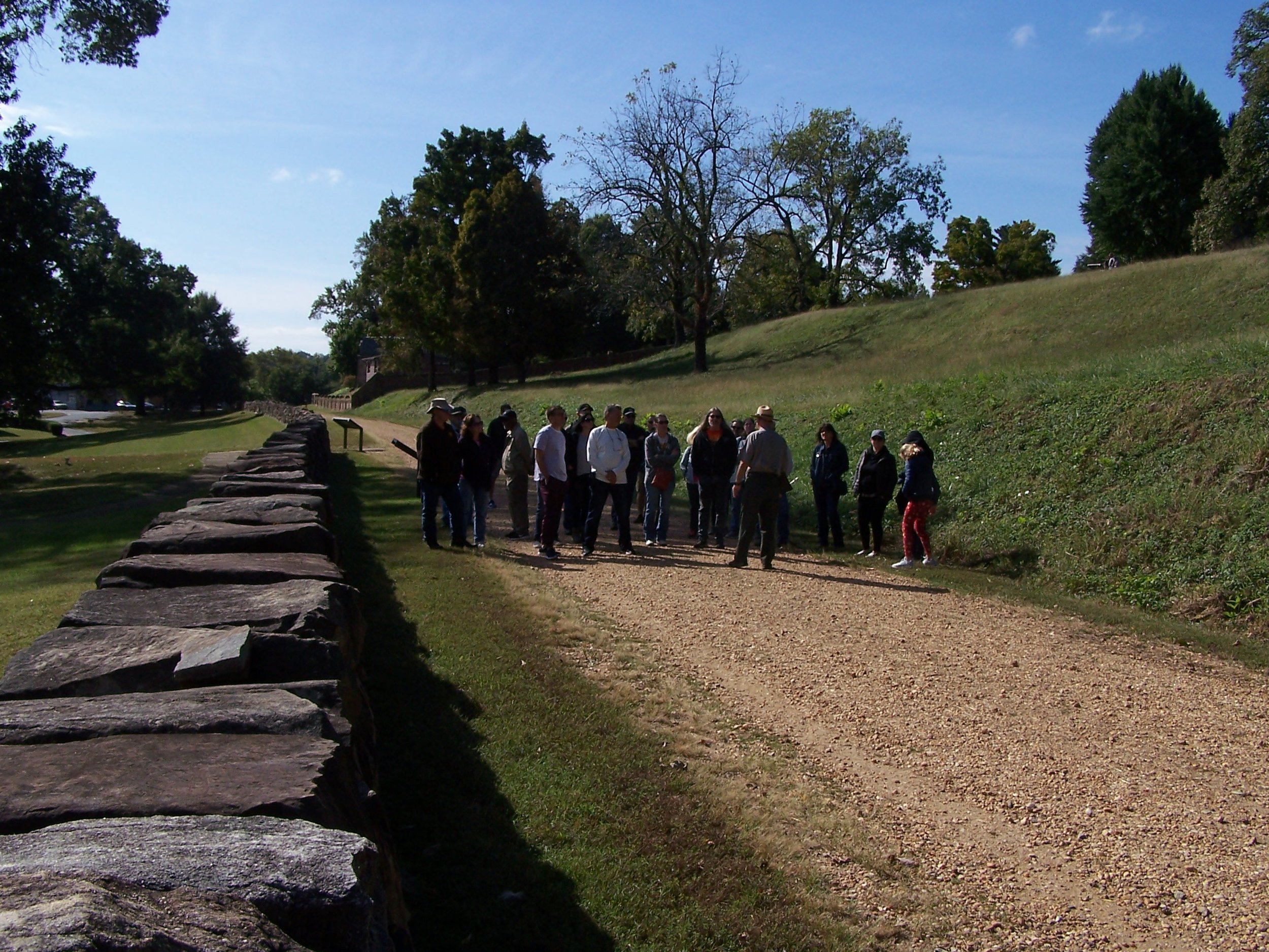
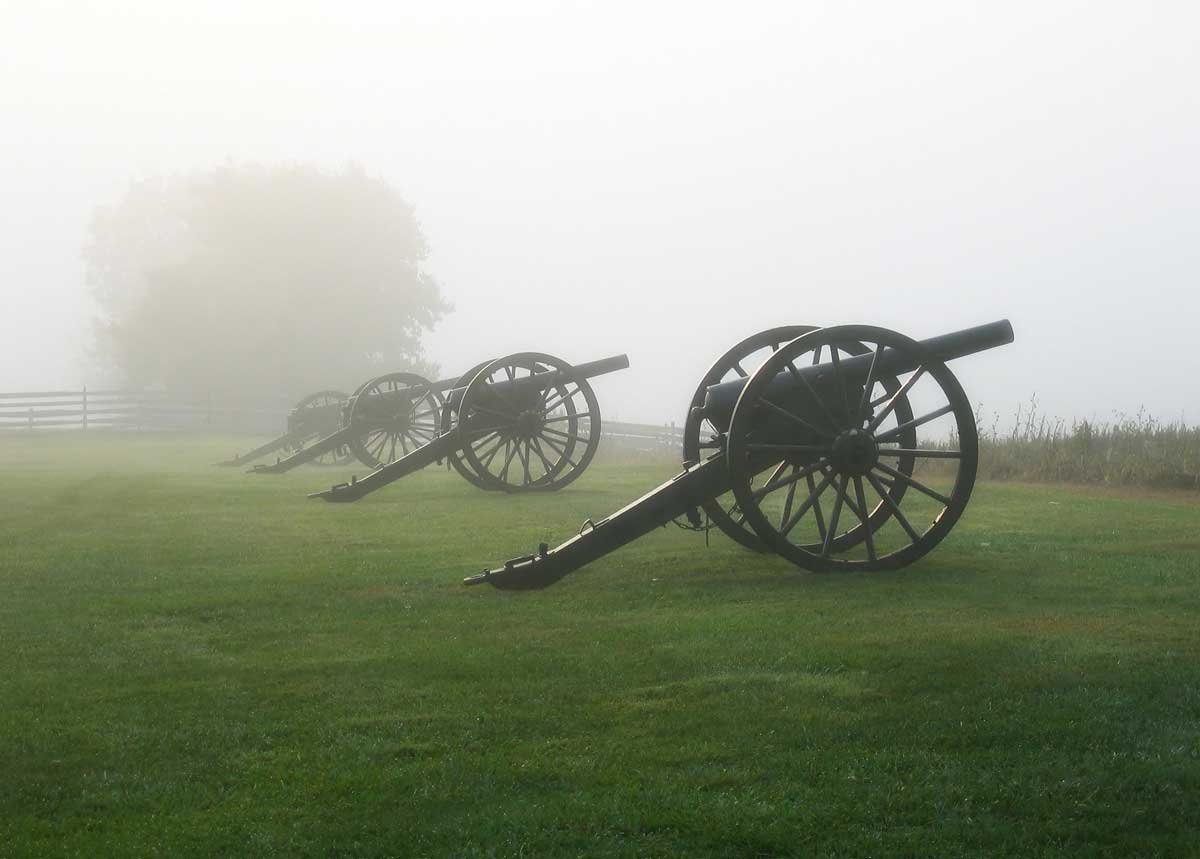
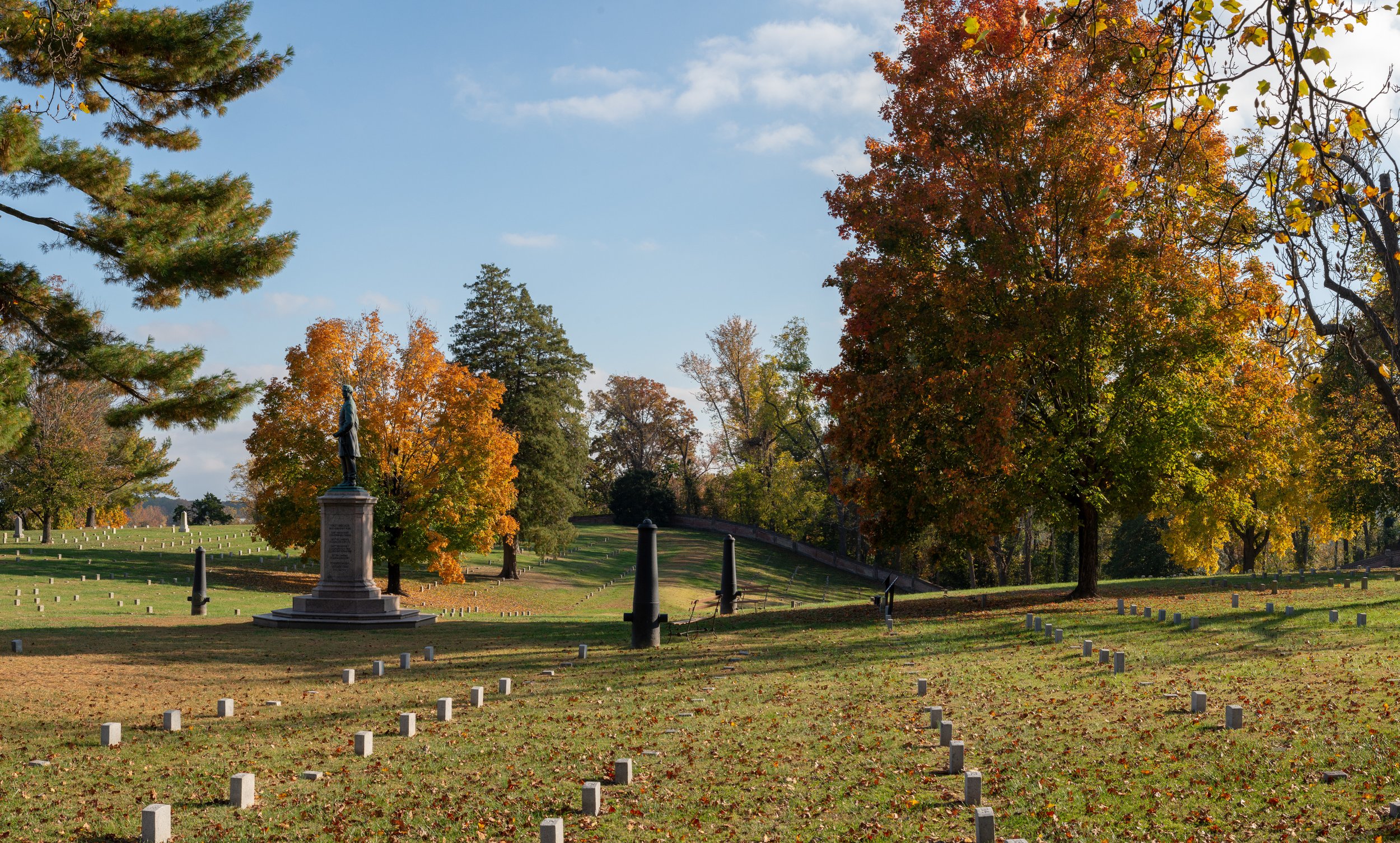
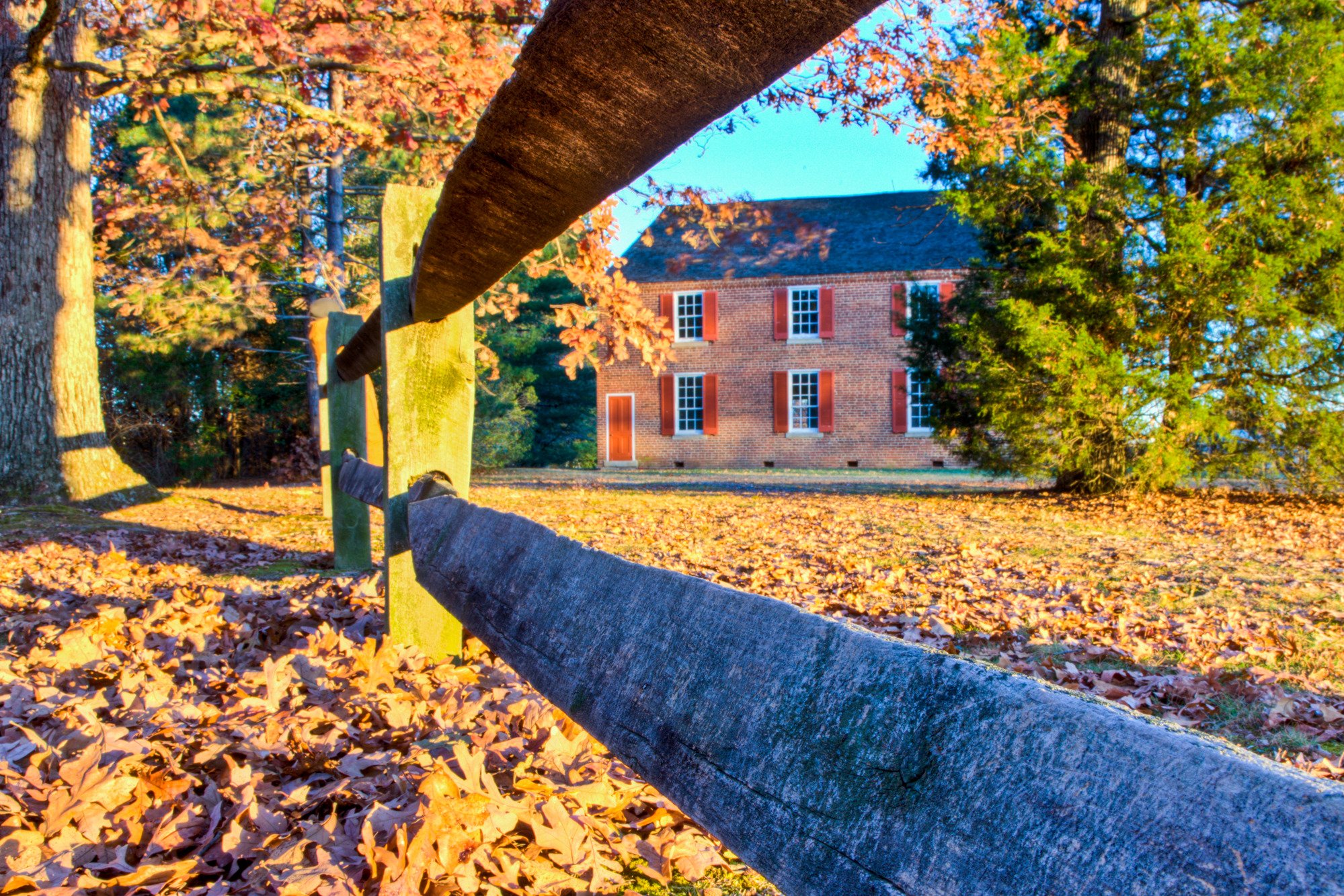
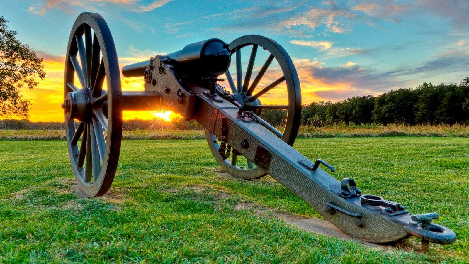
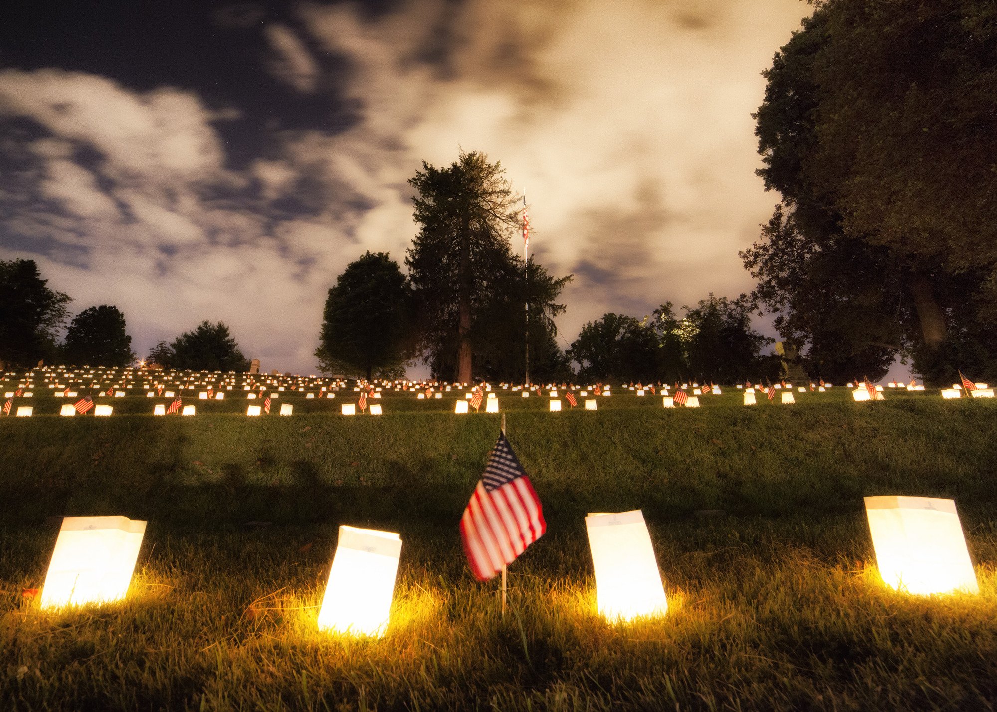
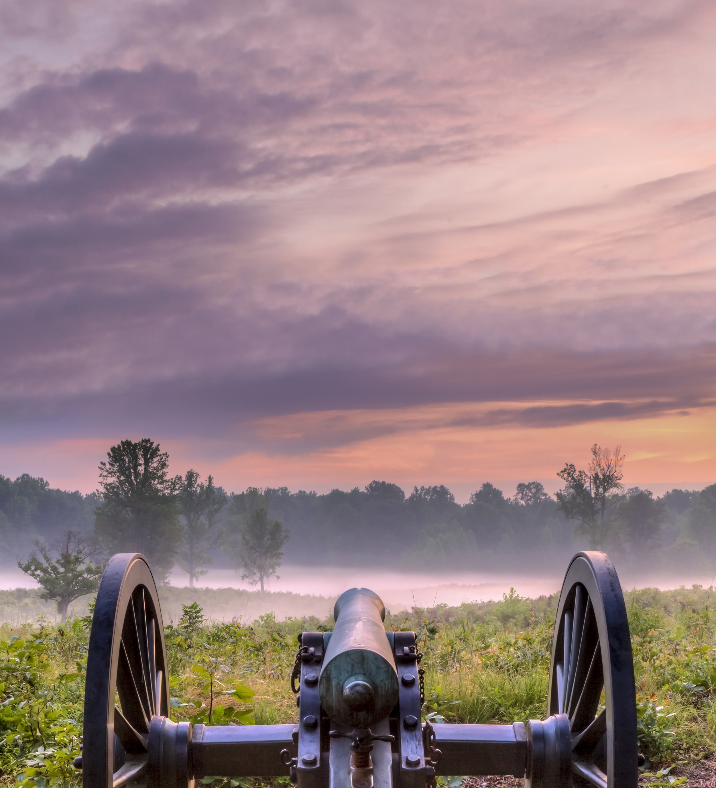
The Rappahannock River rolls right alongside the city of Fredericksburg, south of Washington, D.C. Known for its colonial and Civil War history, it’s home to the 4 battlefields of the Fredericksburg and Spotsylvania National Military Park: Fredericksburg, Chancellorsville, Wilderness and Spotsylvania Court House. The park’s Fredericksburg National Cemetery is the final resting place of thousands of Union soldiers.
Fredericksburg, Chancellorsville, Wilderness, and Spotsylvania. This is America's battleground, where the Civil War roared to its bloody climax. No place more vividly reflects the War's tragic cost in all its forms. A town bombarded and looted. Farms large and small ruined. Refugees by the thousands forced into the countryside. More than 85,000 men wounded; 15,000 killed--most in graves unknown. Stop for a moment and ponder the history that held America together.


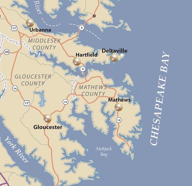
The Middle Peninsula is the second of three large peninsulas on the western shore of Chesapeake Bay in Virginia. Middle Peninsula is home to 92,886 people. This peninsula is bounded by the Rappahannock River on the north and the York River on the south, with the Chesapeake Bay to the east. It encompasses 6 Virginia counties of which 3 border onto the Bay, namely Mathews, Gloucester, and Middlesex counties including; Urbanna, Deltaville, and Hartfield. The area is rich in history; much of it explored by Captain John Smith himself and is regarded as one of the best kept secrets of the Eastern seaboard. Developed for tobacco plantations in the colonial era, in the 21st century the Middle Peninsula is known for its quiet rural life, vegetable truck-farming and fishing industry.
As the Rappahannock river flows past Tappahannock on its southern bank, it is well over a mile wide. The last settlements of any size before it reaches the Chesapeake Bay are Irvington, Urbanna, Stingray Point, and White Stone Beach.
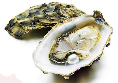
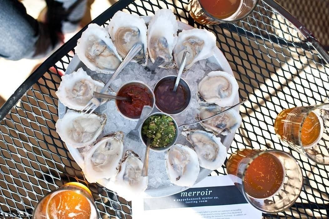
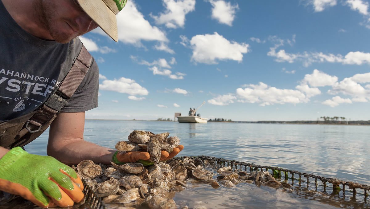
The oysters that thrive in the estuary of the Rappahannock River are the least salty oysters of the East Coast. They are renowned for their sweet and smooth flavor, described as almost buttery. The low salinity allows a Blue Ridge minerality to come through. These oysters are known for being good to consume with wine. The nutritious oysters have been a documented delicacy, eaten on a large scale in 19th-century Washington, served fresh, grilled, stewed, or as part of a pie.
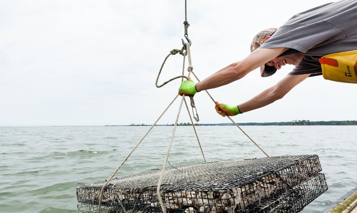
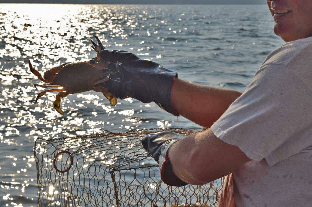
The Rappahannock river enters the Chesapeake Bay approximately 20 miles south of the mouth of the Potomac River and approximately 60 miles east of the state capital, Richmond. At the point where the river enters the bay, between Windmill Point, on the north, and Stingray Point, on the south, it is more than 3.5 miles wide. This estuary, south of the Northern Neck peninsula, is a productive oyster and crab fishery.


Farmers located along Rappahannock River - let us know if you’d like to be on the list!

